Arthur's Way
Audio
Download the MP3 Audio Files below
AUDIO GUIDES
- Hello and Welcome (3.05mb)
- Arthur's first brewery Castleview, Leixlip (4.18mb)
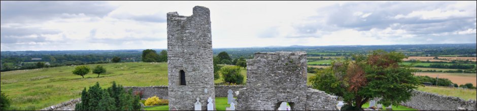
- The bishop and Arthur's name St Mary's Church (3.07mb)
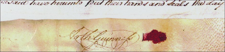
- What does the name Guinness mean? (1.71mb)
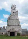
- The Wonderful Barn (3.89mb)
- Talking beer at Batty Langley lodge (2.77mb)
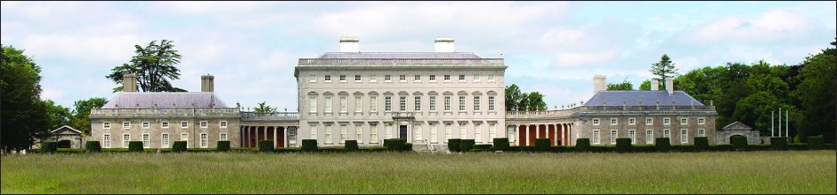
- A Palladian Mansion Castletown (3.44mb)
- Where Arthur's story begins Celbridge(4.74mb)
- The room where Arthur was born (4.55mb)
- Arthur's life in Dublin(4.33mb)
- In McEvoy's pub for stout porter and Guinness(5.28mb)
- By the banks of the Grand Canal (4.26mb)
- Lyons Hill and haunted Lock(5.55mb)
- The Friendly Brothers of St Patrick (3.21mb)
- Arthur's mother's family the Reads of Ardclough (4.36mb)
- Last resting place of Arthur Guinness Oughterard (6.71mb)
Download all 16 MP3 Audio Files in one zip file (63.7mb)
Arthurs Way
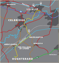
 RECOMMENDED ROUTE
POINTS OF INTEREST & DISTANCES
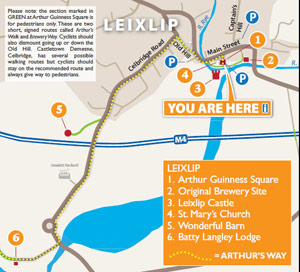
STAGE 1: Arthur Guinness Square, Leixlip
towards...
STAGE 2: Celbridge Main Street
towards...
STAGE 3: Hazelhatch Bridge
towards...
STAGE 4: Lyons Estate
towards Oughterard
![]()
LENGTH: 16km approx.
TIME: 3-3.5 hours walking; 1-1.5 hours cycling
GRADE: Easy. Generally flat with good surfaces. Inclines at Old Hill, Leixlip and
Ardclough. Mix of footpaths, tracks, roads and canal towpath. Suitable
for family groups. Normal outdoor footwear can be worn.
Arthur's Way is a waymarked linear route which can be enjoyed in either direction.
 Keep an eye out for the Arthur's Way information boards, fingerposts and marker posts to help keep you on track
PUBLIC TRANSPORT
To and from LEIXLIP:
Dublin Bus - all 66 routes
Irish Rail - Maynooth Suburban Line
To and from CELBRIDGE:
Dublin Bus - all 67 routes
Irish Rail - Portlaoise Line
www.dublinbus.ie
www.irishrail.ie
www.transportforireland.ie

Log on to the website to get more
information on the route, including
MAPS and LEAFLETS, and an AUDIO GUIDE.
www.ArthursWay.ie